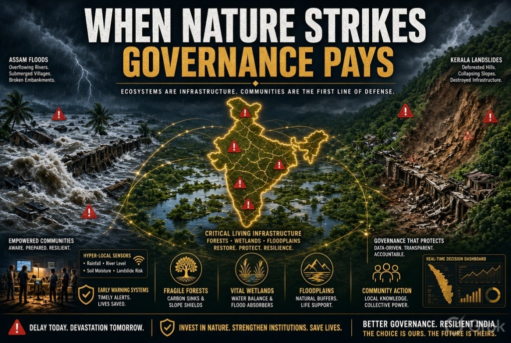
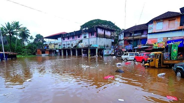
India’s simultaneous flood catastrophe in Assam and landslide crisis in Kerala should not be dismissed as two geographically distant natural disasters. They are two manifestations of the same emerging national vulnerability: extreme rainfall is becoming more intense while the capacity of human landscapes to absorb, regulate and safely discharge water is steadily declining. Assam has witnessed one of its most destructive flood episodes in decades, with at least 87 deaths and more than six lakh people affected, while Kerala has reported at least 15 deaths, several missing persons and more than 18,400 people in relief camps. The Brahmaputra Valley and the Western Ghats may be separated by thousands of kilometres, but the underlying governance challenge is remarkably similar. Climate change is amplifying the hazard; unplanned development is amplifying the damage. India is therefore confronting something larger than a disaster-management crisis. It is confronting a landscape-management crisis.
For decades, India planned around the assumption that the monsoon represented a broadly predictable four-month hydrological cycle. That assumption is becoming increasingly unreliable. Longer dry spells are increasingly interrupted by short-duration, exceptionally intense rainfall events. Parts of Kerala have experienced around 361 mm of rain within 24 hours, while several districts of Assam have received rainfall multiple times above normal. Warmer oceans and a warmer atmosphere can hold greater quantities of moisture before releasing it suddenly and violently. Climate scientist Roxy Mathew Koll has warned that Kerala may need to prepare for rainfall events exceeding 500 mm. This fundamentally changes the mathematics of infrastructure. Roads, bridges, drainage systems, reservoirs, settlements and hill-cutting projects designed around historical rainfall averages may no longer be adequate for tomorrow’s climate. India’s planning dilemma can therefore be expressed in one brutal sentence: we are designing tomorrow’s infrastructure with yesterday’s climate data.
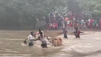
Assam demonstrates the limitations of believing that rivers can be permanently disciplined through engineering. Embankments have protected millions of people and vast agricultural areas, but decades of rigid river management have also reduced the natural space available for rivers, sediment and seasonal flooding. Ageing embankments, inadequate maintenance and extraordinary river surges create a dangerous combination: the stronger the illusion of permanent containment, the greater the devastation when containment fails. The answer is not to abandon embankments, but to stop treating them as the entire flood strategy. India needs to move from river control to river accommodation. Floodplains, wetlands, beels and natural channels must be recognised as components of national flood infrastructure. Where feasible, rivers should be given designated space to expand safely, supported by retention basins, flood-compatible agriculture, elevated settlements and adaptive embankment management. A river denied legitimate space does not surrender its claim; eventually, it takes that space back—often at catastrophic human cost.
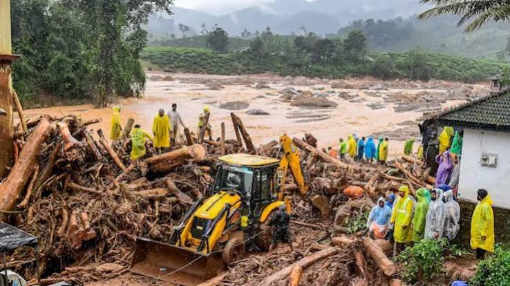
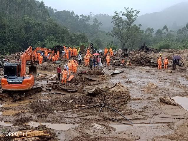
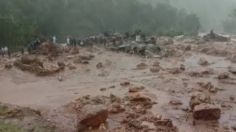
Kerala exposes a different but interconnected vulnerability: the destabilisation of mountains. A landslide is not simply a rainfall event; it is the collapse of a geological system under stress. Quarrying, road cutting, deforestation, excavation, construction and poorly managed soil disposal can weaken slopes until extraordinary rainfall becomes the final trigger. The reported landslide near Kalladi and Meppady, close to the zone affected by the 2024 Mundakkai disaster, reinforces a disturbing reality: extreme weather becomes lethal when ecological buffers have already been degraded. The Western Ghats must therefore be treated as critical national infrastructure. A forested mountain slope is simultaneously a natural retaining structure, water regulator and sediment-control system. Destroying that natural infrastructure and subsequently spending enormous public resources on engineered protection is economically irrational. Development cannot mean converting ecological stability into construction revenue and then converting the resulting disaster into rehabilitation expenditure. The true cost of ecological degradation is often invisible until the mountain moves.
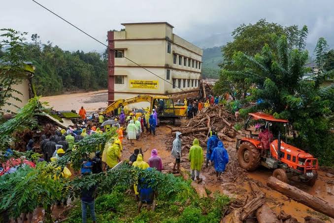
India’s vanishing wetlands represent another invisible infrastructure deficit. Assam’s beels, Kerala’s paddy fields, marshes, streams, floodplains and natural drainage channels are essentially free water-storage systems created by nature over centuries. When they are filled, narrowed or converted, the water does not disappear; it simply moves faster towards someone else’s home. This creates one of modern India’s most irrational contradictions: governments spend billions on drainage systems, flood barriers and storm-water infrastructure while simultaneously destroying natural systems that perform many of these functions without an annual maintenance bill. Ecological accounting must therefore become part of public investment decisions. Every wetland destroyed should be recorded not merely as land converted but as water-storage capacity lost. Every floodplain occupied should carry a measurable risk liability. Environmental clearance must evolve from a procedural compliance exercise into a rigorous assessment of cumulative ecological and hydrological carrying capacity. Nature is infrastructure; destroying it creates a liability that eventually appears on the public balance sheet.
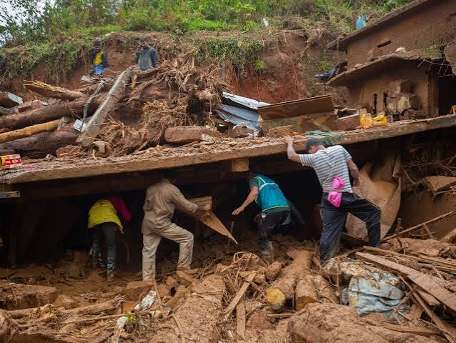
The deeper weakness lies in India’s governance architecture. Water does not respect administrative boundaries, yet institutions remain fragmented across departments, jurisdictions and levels of government. Drainage, embankments, irrigation, land use and urban development frequently operate within separate administrative silos, while interstate rivers require complex Centre-State coordination. Upstream interventions can therefore generate downstream risks without an integrated basin-wide accountability mechanism. Even where policies and programmes exist, implementation can be undermined by delayed project reports, under-utilised funds, inadequate hydrological monitoring and malfunctioning telemetry systems. An early-warning system is meaningful only when sensors function, data moves rapidly, forecasts are translated into actionable instructions and communities have the authority and capacity to respond. Disaster governance must consequently move from ceremonial preparedness to operational preparedness. Relief camps, compensation and reconstruction are necessary, but they represent the expensive final stages of failure. The real objective must be to prevent a predictable hazard from becoming an unpredictable catastrophe.
India has nevertheless demonstrated that effective disaster governance is possible. Since the Disaster Management Act, 2005, the country has strengthened institutional capacity through the National Disaster Response Force, improved forecasting systems and platforms such as SACHET. The substantial reduction in cyclone mortality during several major events demonstrates that extreme weather does not automatically have to become a mass-casualty event. But floods and landslides demand a much more localised architecture. A district-level rainfall warning can be almost meaningless to a village located beneath an unstable slope. India needs dense sensor networks, village-level rainfall and river gauges, slope monitoring, community disaster committees and two-way communication between panchayats and scientific agencies. Programmes such as Aapda Mitra should be expanded substantially. Technology must travel beyond the last government office and reach the last household at risk. The most sophisticated satellite forecast is worthless if the family that needs to evacuate receives the warning after the road, bridge or communication network has already failed.
The strategic choice before India is therefore not whether to fight nature, but whether to redesign development around nature’s limits. The Netherlands’ “Room for the River” philosophy offers a powerful conceptual lesson: wherever feasible, create space for water instead of endlessly narrowing its path. Kerala requires equally serious carrying-capacity assessments for fragile mountain zones, stronger regulation of quarrying and excavation, slope-stability standards and differentiated ecological planning across its highlands, midlands and coastal belt. Reservoir management must incorporate real-time weather forecasting, dynamic rule curves, emergency action plans and transparent upstream-downstream data sharing. Every major road, bridge, dam, industrial project, housing colony and tourism facility should undergo rigorous climate-risk assessment before approval. India must move decisively from disaster response to disaster prevention, from relief expenditure to resilience investment, and from ecological clearance to ecological accountability. Assam and Kerala are not isolated warnings; they are advance signals of what a warmer, more densely populated and rapidly urbanising India could face. Climate change may load the dice, but governance determines the severity of the outcome. The true test of a developed India will not be how efficiently it rescues citizens after catastrophe, but whether it possesses the intelligence, discipline and political courage to redesign rivers, cities, mountains and infrastructure so that extreme nature does not automatically become human tragedy.
VISIT ARJASRIKANTH.IN FOR MORE INSIGHTS

